I made a GTFS feed of my own life
Last weekend I made a GTFS feed of my own life. There's a grocery store route, a dog walk route, and a "favorite mountain bike ride" route. Silly? Yes, but hear me out.
I've loved CalTopo for years—the route-planning tool serious hikers and backcountry skiers swear by. There's something deeply satisfying about sketching adventure ideas on a map. It's the kind of tool that earns devotion because it was clearly built by someone who needed it.
GTFS is the same language for transit—the data agencies use to publish schedules to Google Maps for trip planning. But making a GTFS feed today is much harder than CalTopo makes drawing an alpine traverse—so many agencies simply don't (making their services invisible to digital natives). Last week I pulled the numbers: of the 2,238 US transit agencies that report to the federal government, 45% have no GTFS feed any trip planner can find. A lot of small agencies have just given up.
So I built GTFS·X. It's like CalTopo, but for GTFS. Browser-based, no signup, no installation. Draw a route on a map, place stops, build a timetable, export a valid feed. It's fast, free, and frictionless. Try it yourself—even if you're not running a transit system, it's a fun way to look at the city you live in. (And, yes, I will be running my one-person bus to Sypes Canyon on Thursday!)
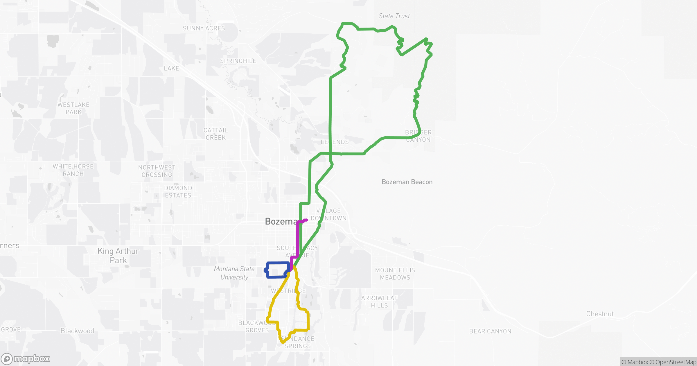
Live mini-site: https://feeds.gtfsx.com/mark-transit/